REMEDIATION SOLUTIONS
CASCADE
Defined by Challenges. Driven by Solutions.
Simplifying geospatial and utility locating services for the Pacific Northwest and beyond.
Our Services
Accelerate your project with precision field solutions that deliver clarity, compliance, and confidence. From aerial mapping to subsurface utility locating, our integrated services reduce risk, streamline workflows, and keep your timeline on track.
-
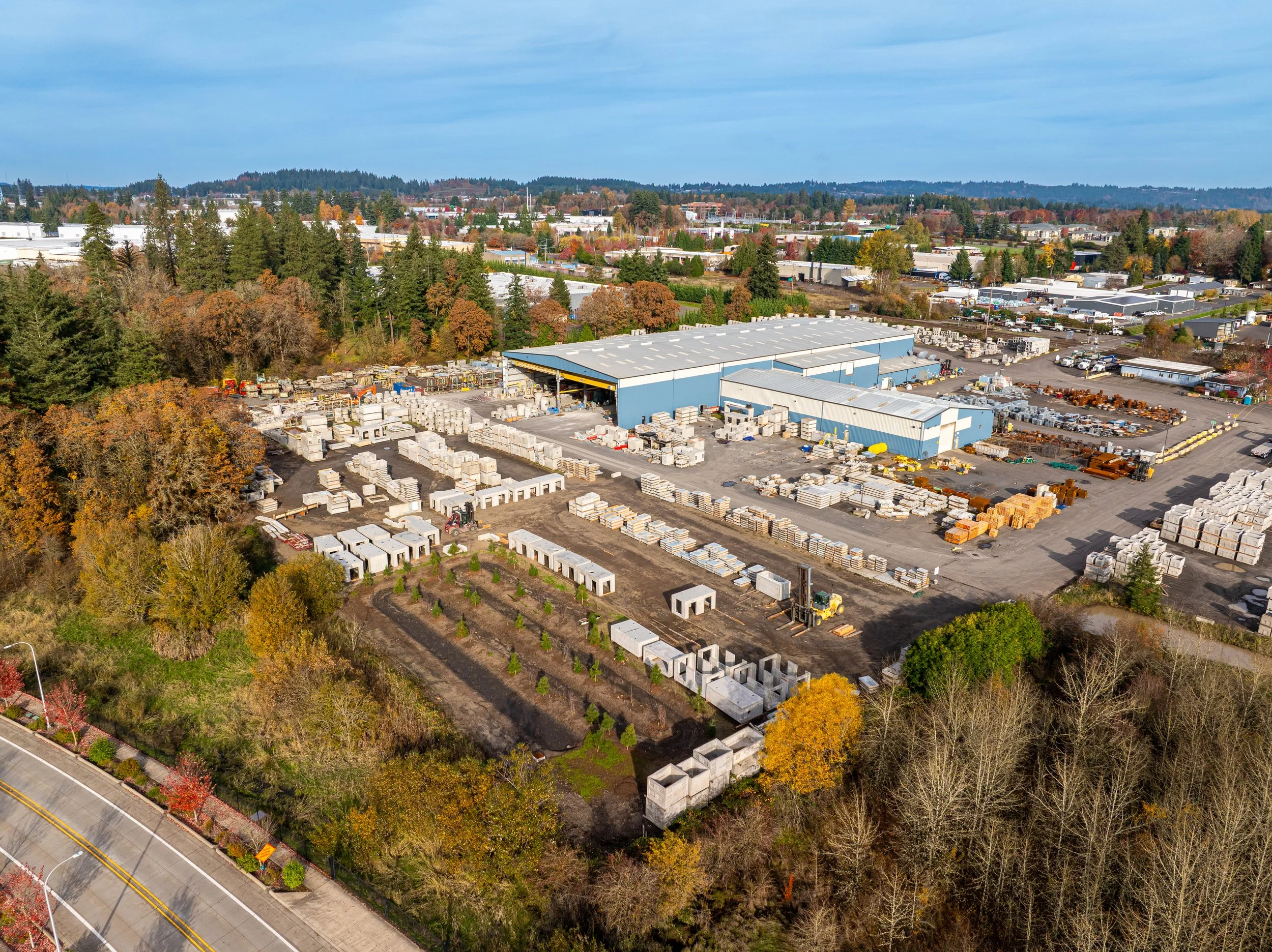
CRS delivers high-resolution aerial intelligence using advanced UAV platforms and RTK/PPK photogrammetry. We provide 2D/3D maps, digital surface models, and terrain assessments for land development, infrastructure monitoring, and post-incident analysis. Our deliverables are CAD- and GIS-compatible, ensuring seamless integration into your project workflows.
-
Our team employs electromagnetic and ground-penetrating radar (GPR) technologies to detect, mark, and digitally document underground utilities. From pre-design mapping to construction risk mitigation, CRS ensures accurate, field-verified data to help you dig safely and plan with confidence.
-
When time is critical, CRS mobilizes fast. Available 24/7, our field crews respond to incidents with rapid aerial mapping, utility assessments, and documentation support. With certified personnel and redundant systems, we bring clarity and control to high-pressure scenarios when it matters most.
-
CRS offers expert consulting to support project planning, risk assessment, and data integration. Whether you need help interpreting subsurface data, optimizing field strategies, or navigating regulatory requirements, our multidisciplinary team delivers actionable insights tailored to your scope and timeline.
Contact Us
Ready to join forces? Give us your details and we’ll connect with you in no time. We’re eager to hear from you!


